
Do Urgent HEC-RAS projects
Engineer with hands-on experience in GIS, remote sensing, and hydrological modeling. I have contributed to national-level projects involving river morphology analysis, groundwater potential mapping, and flood risk assessments. My core expertise includes using ArcGIS, HEC-RAS, and MIKE 21C for spatial analysis, river modeling, and report preparation. I also have strong skills in technical writing, environmental reporting, and developing presentation materials for water sector planning.
Engineer with strong expertise in GIS, hydrology, and hydraulic modeling. I have hands-on experience working on national-scale river and groundwater projects using ArcGIS, HEC-RAS, and MIKE 21C. I can assist you with high-quality mapping, analysis, and modeling tailored to your project needs.
Heres what I offer:
GIS mapping and spatial data analysis
Georeferencing and digitization (point, line, polygon)
Preparing shapefiles, KMZ, and geodatabases
Downloading High Resolution Imagery (Sentinel 2/Landsat)
Analytical Heirarchy Process (AHP)
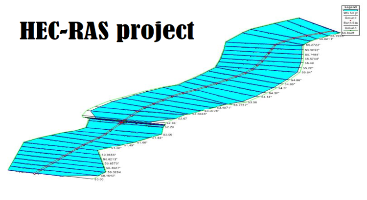
Flood and river modeling using HEC-RAS (1D/2D)
Hydraulic simulations using MIKE 21C
Groundwater and hydrological assessments
Extraction and visualization of satellite imagery
Report writing and presentation formatting for water-related studies
Let me know your project scope and I will provide precise, technical, and professional
Compare Packages
- Revisions
- Delivery time
- 1D HECRAS simulation
- Project review
- Map
- Report
- Charges
Basic
-
$40.00
$50.00
Standard
-
$120.00
$150.00
Premium
-
$160.00
$200.00